The Geodezic Arch Struve
The Struve Geodetic Arc is a chain of survey triangulations stretching from Hammerfest in Norway to the Black Sea, through ten countries and over 2,820 km. The chain was established and used by the German-born Russian scientist Friedrich Georg Wilhelm von Struve in the years 1816 to 1855 to establish the exact size and shape of the earth. At that time, the chain passed merely through two countries: Sweden-Norway and the Russian Empire. The Arc's first point is located in Tartu Observatory, where Struve conducted much of his research. In 2005, the chain was inscribed on the World Heritage List. Measurement of the triangulation chain took place between 1816 and 1855. It comprises 258 main triangles and 265 geodetic vertices. The northernmost point is located near Hammerfest in Norway and the southernmost point near the Black Sea in Ukraine.

Obverse:
on the central part – the Coat of Arms of the Republic of Moldova; on the upper part - figure „2009”; on the bottom part -the inscription „50 LEI”; following the coin circumference– the inscription "REPUBLICA MOLDOVA" is engraved in block letters.
Reverse:
on the central part – the map of Republic of Moldova, on which is placed the Geodezic Arch Struve, the geodezic point Rudi and the geographic coordinates, on the upper part- inscription „RUDI” ; on the upper part, following the coin circumference – the inscription „ARCUL GEODEZIC STRUVE”is engraved in block letters.
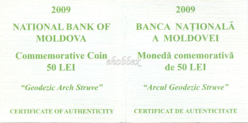
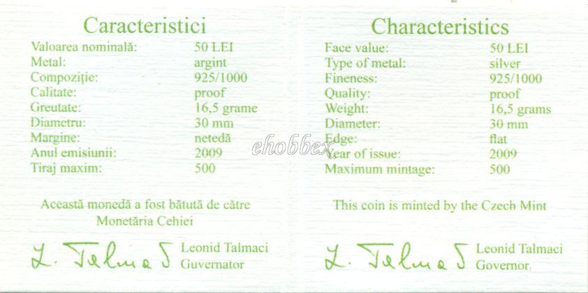
Certificate:
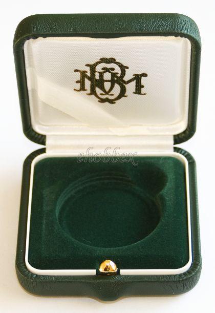
Package (box, booklet, roll, etc.):

Country:
Moldova
Catalog ID:
MD112CM1
Value:
€87
Mintage:
500
Quality:
Proof
Face value:
50 Lei
Purity:
0.925
Weight:
16.5g
Diameter:
30mm
Year:
2009
Type:
Commemorative coin
Shape and style:
Round
Edge:
Plain
Mint:
Czech Mint
Local program:
Monuments of Moldova
Source of information:
The National Bank of Moldova www.bnm.md
Source of information:
Wikipedia www.wikipedia.org